Switzerland

Cycling to the Vallée de Joux

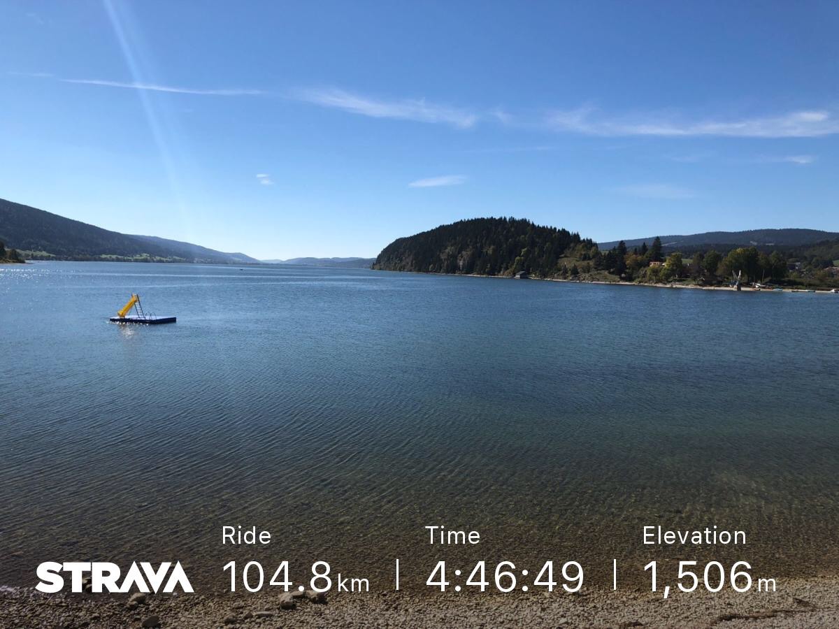
Yesterday I tried cycling to the Vallée de Joux and succeeded. A few weeks ago I cycled up to St George and I saw a sign that said that the Col De Marchairuz was less than 6km away so I decided to try it. When I succeeded that I saw that getting to the Vallée de Joux would be possible. 

On Sunday due to the weather I thought that I would go for a small 30km loop to avoid the bad weather and rain. I felt fresh when I got back to Nyon so I decided to go further and I headed towards the Col De Mollendruz but took a wrong turn and arrived in Bière. As I felt tired I changed course and headed back for home. 

Cycling into the wind

Yesterday I cycled my first 100km ride. It started as a simple ride towards Geneva and back but by the time I got back to Nyon I felt that I had enough energy to go further so I set the goal of getting to Rolle and after Rolle I set the goal to get to Morges before getting distracted and heading up towards Bière. 

During this ride when cycling towards Geneva I saw a peloton cycling together and taking turns leading and sheltering behind each other. I continued cycling outside of the windbreak zone and managed to keep up. If I had wanted to I could have overtaken them but it’s lucky I didn’t because I’d have burned out sooner. 

The Ice finally came

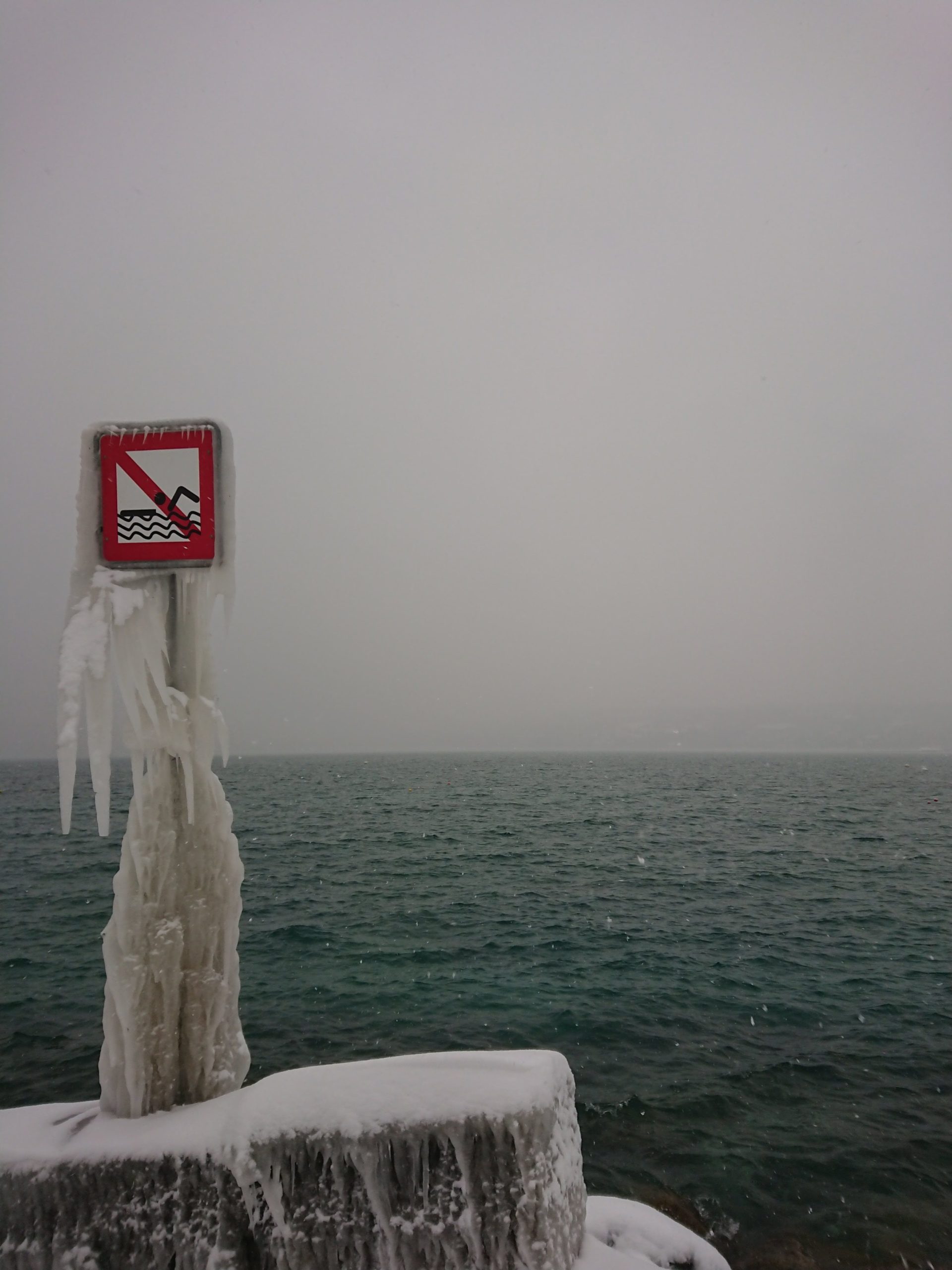
A few days ago I went towards the lake to take pictures. The wind was strong and cold. The temperature was close to -9°c. The last time we had such cold weather the lake side became beautiful as the porcelain ice formed around boats, trees, over grass and cars. As this only occurs every few years it is a rare treat. 

No Swimming sign with ice

A post shared by Richard Azia (@richardazia) on Feb 26, 2018 at 4:25am PST

From Grächen to Zermatt via the longest suspension bridge: part two

From Grächen to Zermatt via the longest suspension bridge: part two

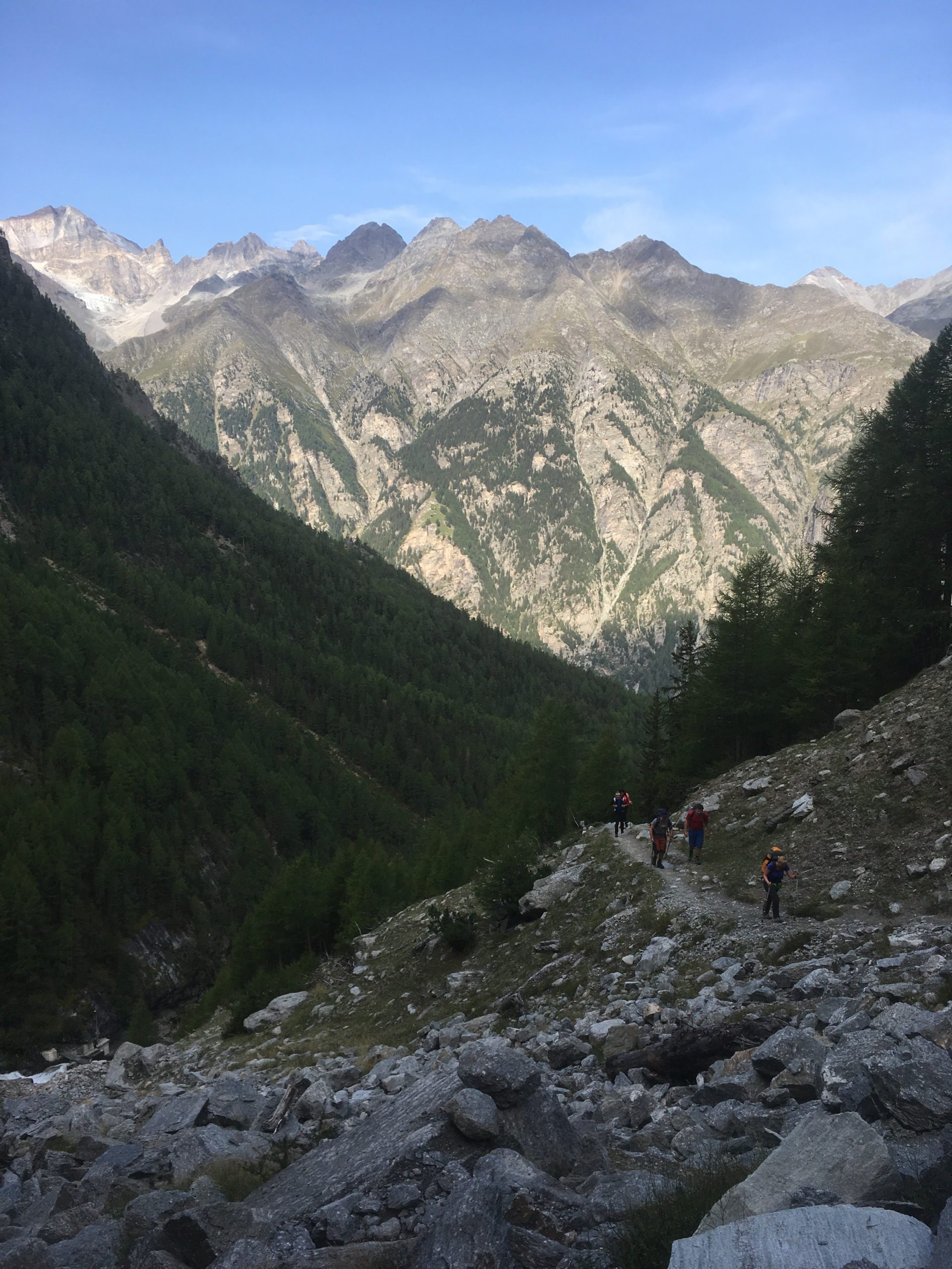
  [gallery ids=“3755,3756,3757,3758,3759,3760”] When you wake up in the Europahütte and look down you can see the span of the longest suspension bridge in the morning shade of the mountains. It’s at this moment that people like me think “shame, not ideal for pictures”. My advice is to plan the day of hiking so that you arrive at the bridge when it’s lit by the sun to get good images. Plan to arrive in the afternoon. I’d be tempted to start from Zermatt if I did this hike again.

From Grächen to Zermatt via the longest suspension bridge: part one

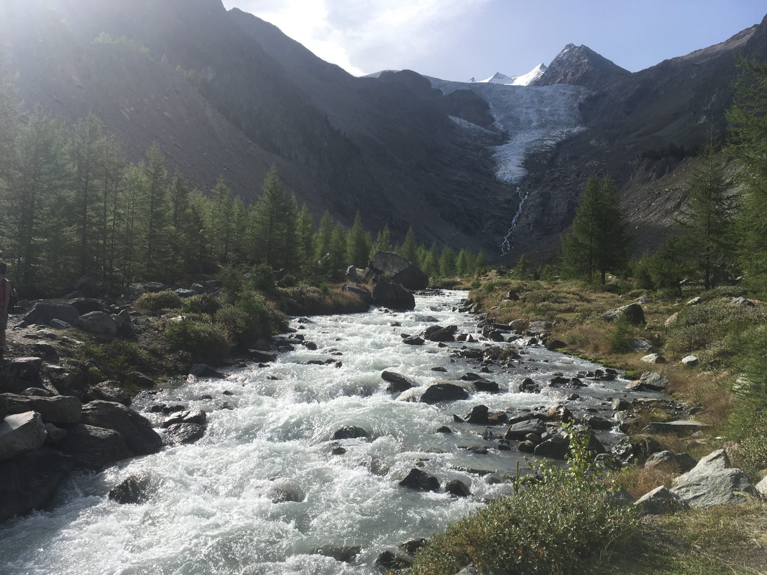
Hiking from Grächen to Zermatt via the longest Suspension bridge is an interesting two-day hike. It provides you with views of glaciers, boulder fields, scree slopes and more. It also provides you with the opportunity to cross a suspension bridge that takes six minutes.

Hiking up from Grächen

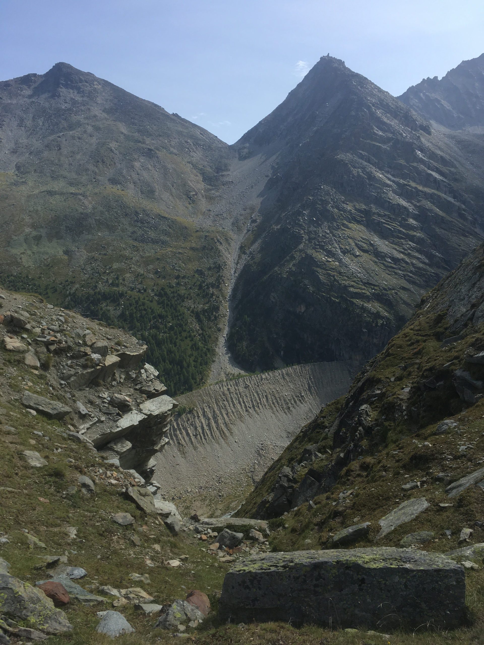
The hike up from Grächen takes you up through a forest. You go through a forest and there is a stream to your left and the nice landscape to your right. The hike up is easy. [caption id=“attachment_3736” align=“aligncenter” width=“768”] Path that leads up to a first view of a glacier[/caption] As I hike with a water filter I like to get water straight from glaciers when I can. I gathered water from the glacier. It tastes good and it’s fresh. Gathering water from this point is easy. [caption id=“attachment_3737” align=“aligncenter” width=“1024”] A nice Cirque[/caption] From this cirque you climb up through some more trees and eventually you get to a nice view point from which you can see the landscape. This provides a good point for a snack and rest. [vrview img=“https://www.main-vision.com/richard/blog/wp-content/uploads/2017/08/export_1503909534859.jpg” width=“500” height=“500” ] Use mouse to look around image above. (360 image) [caption id=“attachment_3738” align=“aligncenter” width=“768”] You can clearly see evidence of where the glacier was.[/caption] Many years ago the glacier reached down into the valley below. You can clearly see the depth of the former glacier. At this point you are above the tree line. You begin to walk on bare rock. The slopes get steeper and you are more exposed. [gallery ids=“3741,3740,3739”] One segment of this hike crosses a zone of active rock falls. When we were walking here we heard a loud noise that sounded like thunder or a jet. After a few seconds we saw large rocks falling down the slope and bouncing. Where they hit the ground clouds of dirt and dust erupted. It was too far away for me to get good video footage. At this moment we were more attentive. If you look up you see that massive rocks get loose and fall. Look at the contrast between the sign post and the boulders. You need to scramble and climb over rocks and navigate your way towards safety. [gallery ids=“3742,3743”]

Caught in a hailstorm 200 meters from the peak

A few days ago a group of us were caught in a hailstorm 200 metres from the peak. When we were approaching the summit we aimed to climb clouds came in and covered the peak and rain fell. At this moment we had doubts about going on. Half an hour later the clouds had gone, we could see the summit and so we started for the summit. As we climbed up the conditions were good. There was a strong wind As we got within two-three hundred metres from the top the wind picked up and we could hear lightning several seconds away. At this point, we slowed our climb. [gallery ids=“3725,3726,3728”] As I looked behind I could see the clouds coming in fast and as I looked the other way I could see the clouds come that way too. By this point the wind was strong and the sky became dark with the clouds we were in. It started to rain and then hail. At first, it was a few very small hailstones but within a minute or two they became large enough to become painful through a cap and a rain jacket hood. We sheltered against rocks to minimise what was exposed to the weather. The intensity of the hail increased and as I started to feel pain I hitched my hiking bag over my head, shielding as much as I could beneath it. As I did this I looked out and it looked like someone was throwing buckets of hailstones. I could feel my trousers getting drenched and my hands got very cold. The wind shifted and the hailstones started to pummel my back and I stayed sheltered. It was an uncomfortable situation to be in. Water was running from my trousers into my shoes and my feet were soaked. When the hail started to subside I stood up and we started to head down. I looked up. One person from the group was rushing down and I decided to descend as well for a bit. I couldn’t see the person who was leading the group so I decided to wait. The storm seemed to have passed and I chose to wait. When he came down I blew into my hands vigorously, warming them up again. Diving in cold lakes I grew used to having cold hands so I did what I always did. I warmed them up again. This was a mild cold. After some dives, I had such cold hands that they hurt so badly that I was close to tears. In this scenario, I was just uncomfortable. The surface was white with hailstones, as if it had just snowed. The leader did come down, smiling. By this point it was an adventure. The concern we had from being in such a situation became amusement at having experienced extreme weather. It’s the first time that we had been caught in a hail stone after years of hiking in the mountains. I almost always carry my rain equipment when I’m hiking for just such an occurrence but usually, it’s just weight that I carry in case it is required.
A dry Paléo

A Dry Paléo after the rain

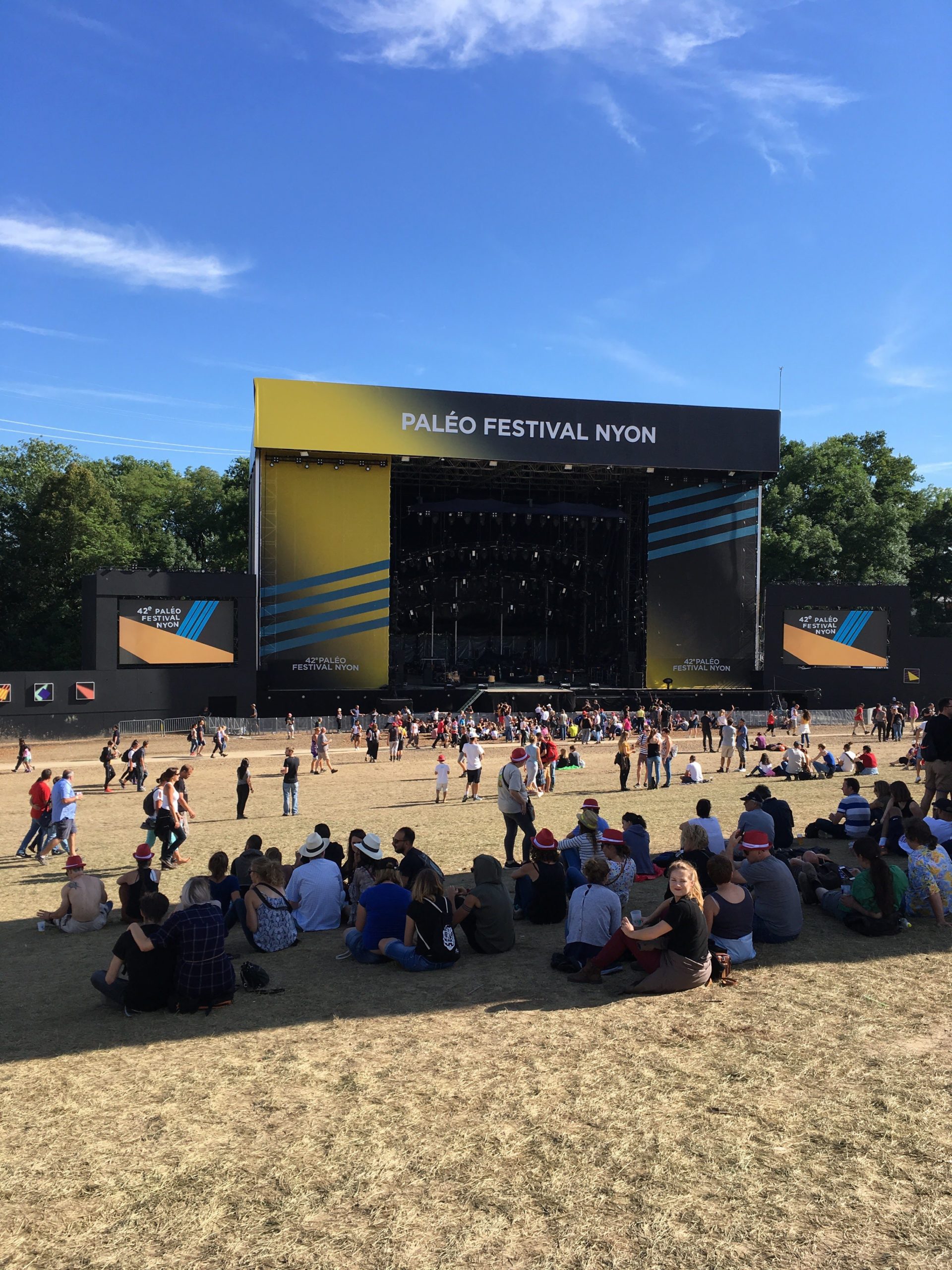
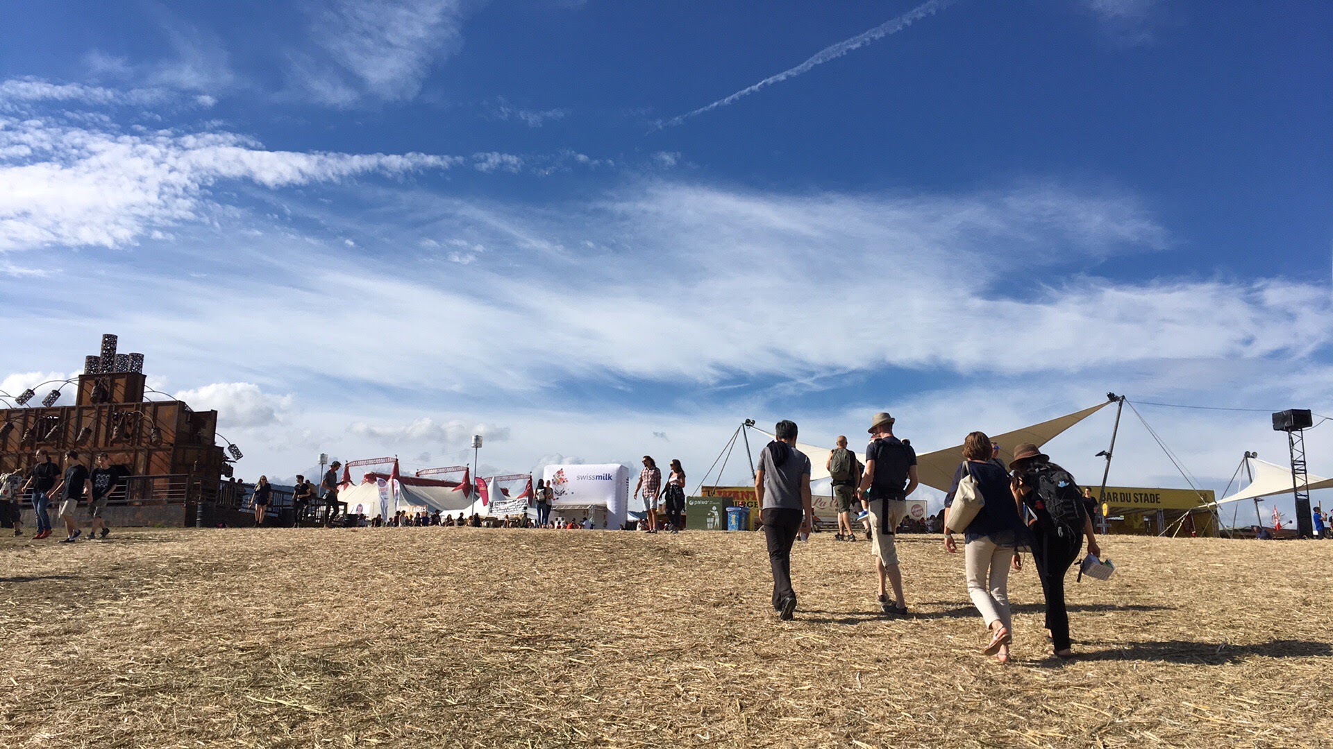
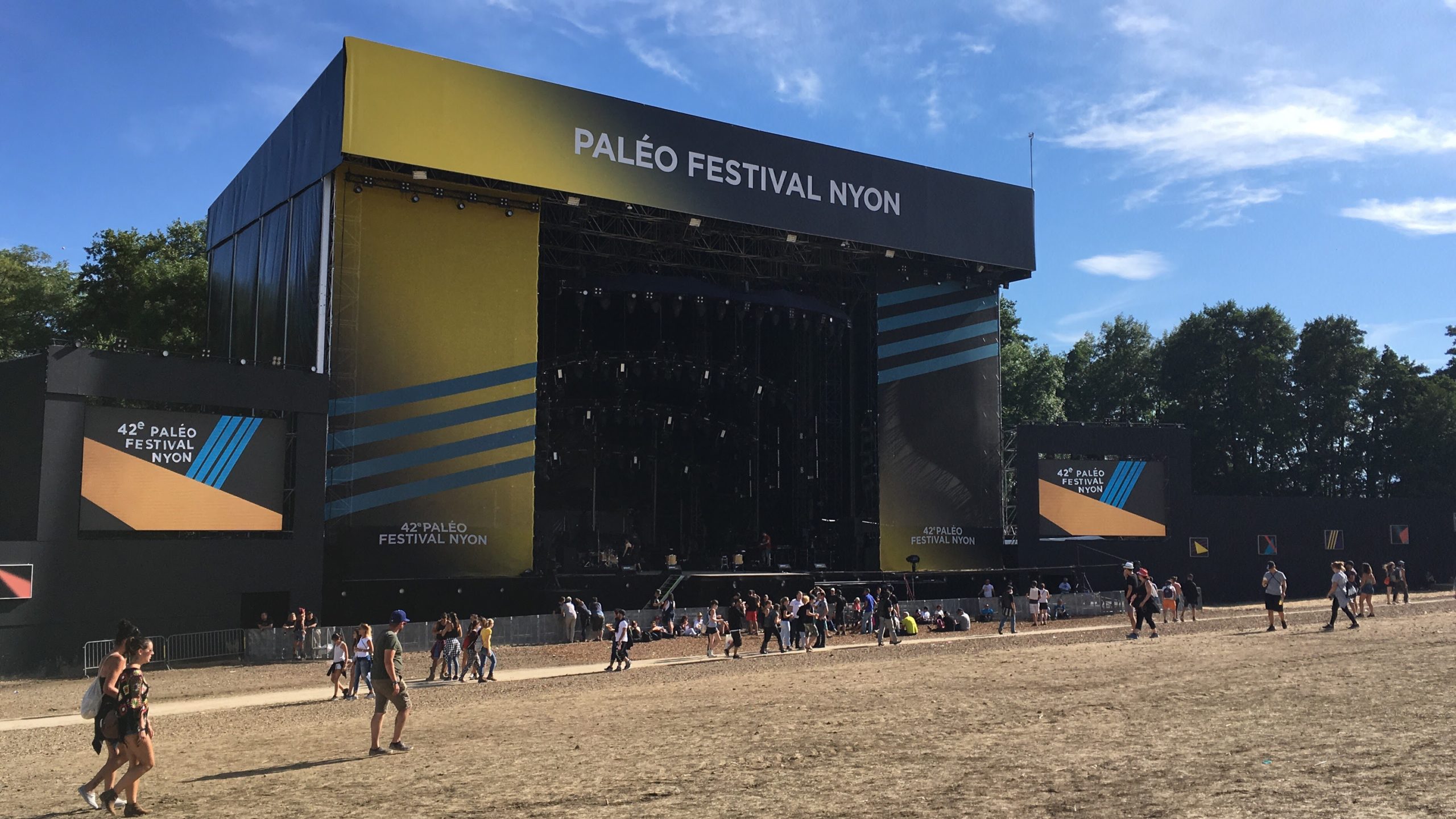
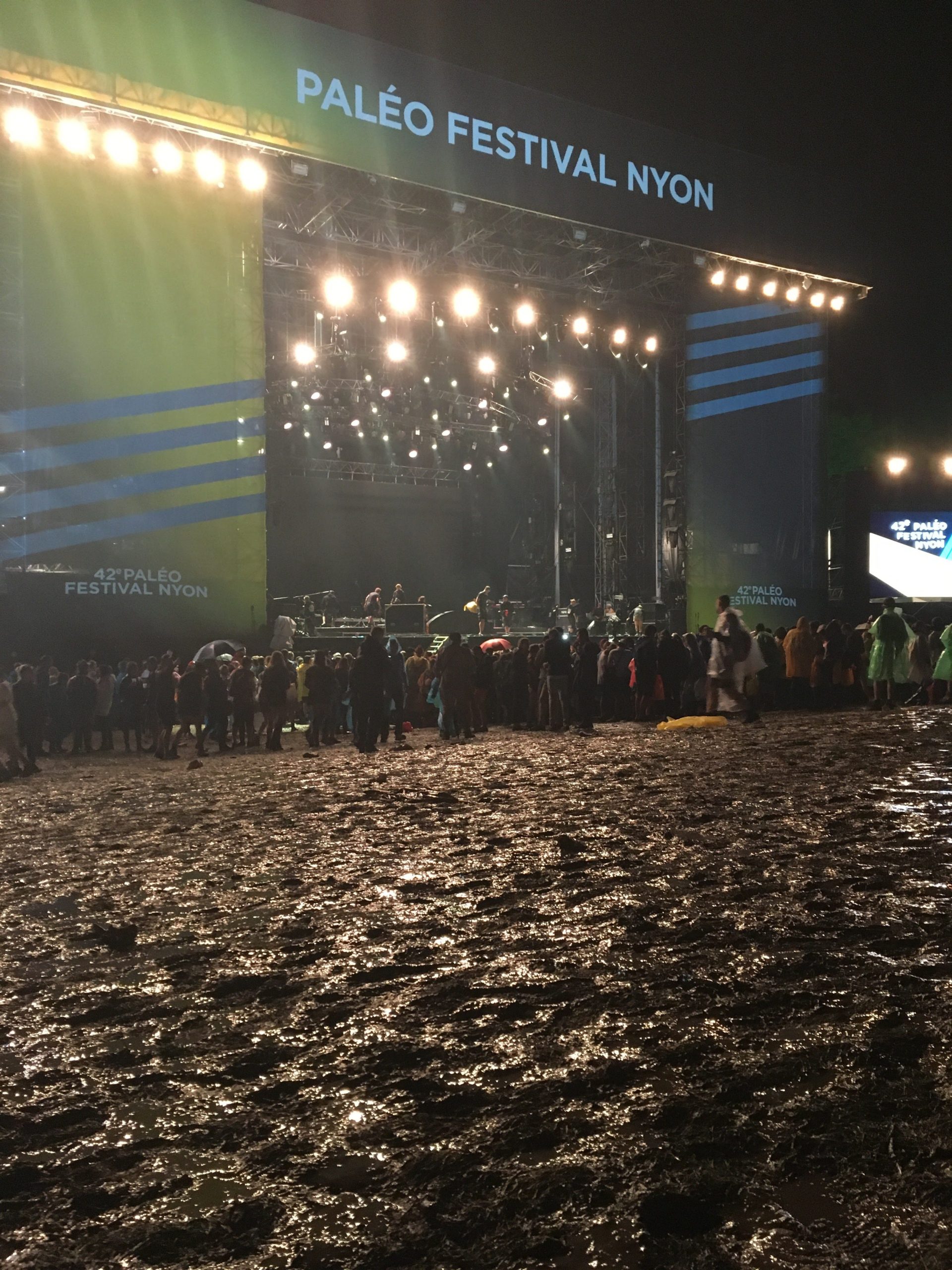
A dry Paléo is as normal as a wet one. On Friday and Saturday if you went to Paléo you would hear the sploutch sploutch of shoes walking through mud. Along with the sploutch sploutch you would also hear the noise of people slipping and catching themselves. Surprisingly people only had dirty shoes. Even their trousers were intact. It’s the grass that suffered. On Sunday when I went to Paléo I could take some amusing images. Look at the image below. During the rest of the year this is a grassy field. During Paléo you can see desertification in action. They put hay down on the dry mud and the result is what you see below. [caption id=“attachment_3694” align=“aligncenter” width=“768”]A dry Paléo A dry Paléo[/caption] This year the temperatures were relatively cool during the Paléo Festival but some people still sheltered from the sun. I like to think that those sheltering from the Sun have already enjoyed several days of Paléo and feel the need to recover before the last night’s activities. [caption id=“attachment_3695” align=“aligncenter” width=“1024”]A Dry Paléo A Dry Paléo[/caption] During most of the year Switzerland is wet and green but during a few weeks in summer the landscape turns yellow due to the dry weather. On Friday there was a warning to stop pumping water from rivers. They issued this warning because they wanted to make sure that the temperature of river water would not get above 26°c. I like the image of these people walking towards Paléo restaurants because the landscape looks so dry and desolate. There is no sign of green. It looks parched. One person said of this image that it looks as if it could have been taken at Burning Man. Neither of us has been so we can pretend that’s the case. [caption id=“attachment_3696” align=“aligncenter” width=“1024”]This is the main stage after the rain This is the main stage after the rain[/caption] When tens of thousands of people churn up the mud and grass the grass doesn’t stand a chance. It gets buried under the mud and as the mud dries we see an “arid” landscape. [caption id=“attachment_3697” align=“aligncenter” width=“768”]The main stage when it’s raining The main stage when it’s raining[/caption] If you look on Google Maps you will see that the traces of Paléo are evident every single year. As Autumn and Winter approach the traces of Paléo are gone. The fields go back to being grass and they rest. The effects of the festival are short lived.

Manu Chao At Paléo

The Manu Chao Concert

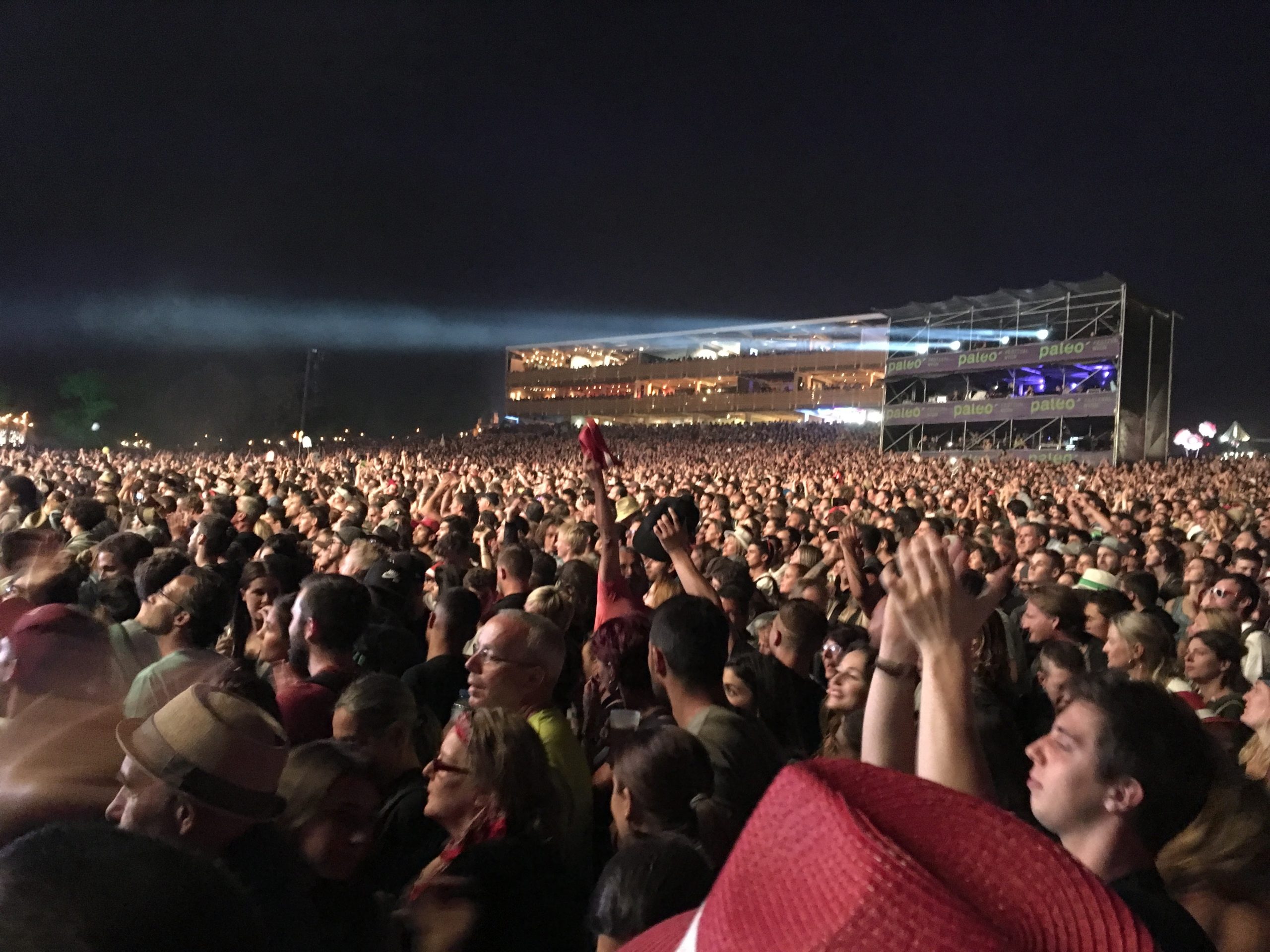
Manu Chao was on the Grande Scène at Paléo last night. His concert lasted for an energetic two hours. He kept saying"Vous êtes Fou, Paléo". He gave a lot of energy and so did the audience. For two hours he jumped around, for two hours the audience jumped around too. The sea of faces and people were impressive. In the distance you could see pac-man and a few ghosts bobbing up and down with the music. [caption id=“attachment_3682” align=“aligncenter” width=“300”]The Manu Chao Sea of faces The Manu Chao Sea of faces[/caption]

The Right side of the transmission chain - acquisition

The right side of the Transmission Chain is at the event itself.  Transmission chain is a term used to describe the route that a signal takes from an event venue to the device on which you are watching an event. As a camera operator the right side of the transmission chain for me is at the event itself.

Belaying

For the IFSC World Cup in Villars this year I was both a camera operator and a belayer. Belaying at a world cup event is an interesting experience because it’s rare to clip and unclip from so many climbers in such a short amount of time. Climbers have a limited time to get up the route. They have six minutes. This means that every 12 minutes or so you’re belaying a new climber as they progress up the wall. It’s a great task for introverts. You observe what the person is doing. When they need rope you’re ready to give it. If they’re struggling you make sure to amortise their fall. When they make it to the top or come back down you help them untie the rope and then you start again.

Day 2 - Villars-sur-Ollon to Le Sepey

Hiking from Villars-sur-Ollon to Le Sepey

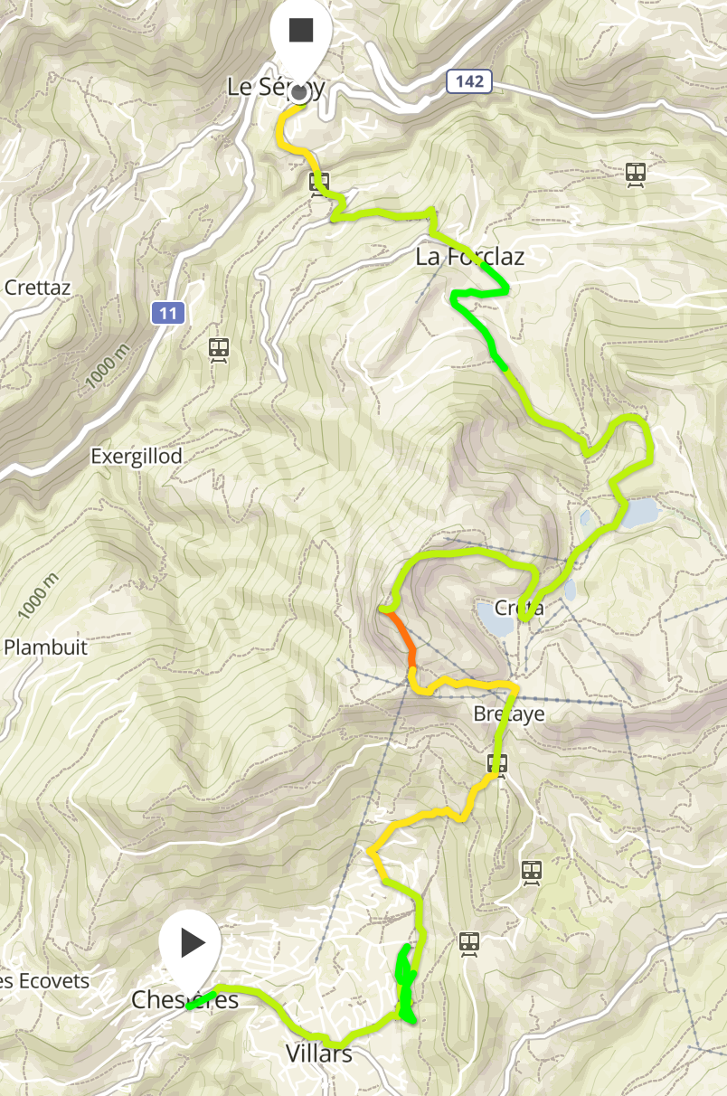
On the second day we hiked up from Villars Sur Ollon to Le Chamossaire. The trail is easy to follow. When you exit the town it takes you through some woods before emerging on to a prairie. From this prairie you have a nice view of the landscape. From here we progressed laterally to the next wooded part. We crossed some fields filled with flowers. Some parts of this trail are muddy so hiking boots simplify the effort. We also crossed a prairie where cow hoofs had churned up the mud. [gallery columns=“2” ids=“3663,3664,3665,3666,3667,3668,3670”]